The Konkan Coastline
-
The Konkan region, situated along India's western coast, is a transition zone between the Deccan Plateau and the Arabian Sea.
-
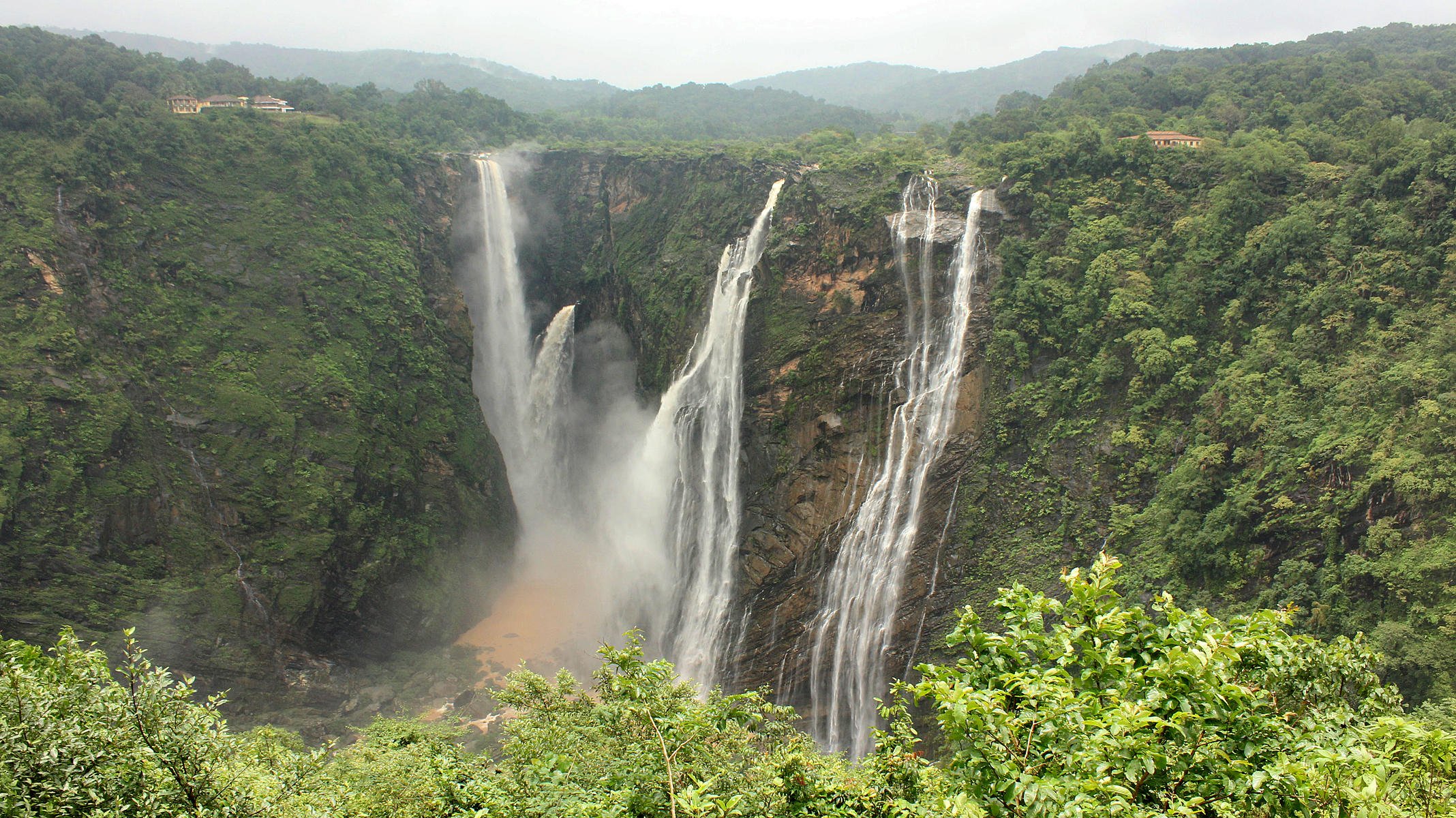
The Western Ghats are crucial in shaping the region's climate, influencing rainfall patterns and creating a gradient from moist coastal areas to drier inland regions. Natural formations such as hills and valleys characterise the landscape, while mineral resources like iron ore and bauxite are also found here.
-
The Western Ghats intercept moisture-laden monsoon winds from the Arabian Sea, resulting in heavy rainfall along the coastal areas. This climate supports extensive agriculture, with crops like rice, coconut, and cashew flourishing in the fertile plains and valleys.
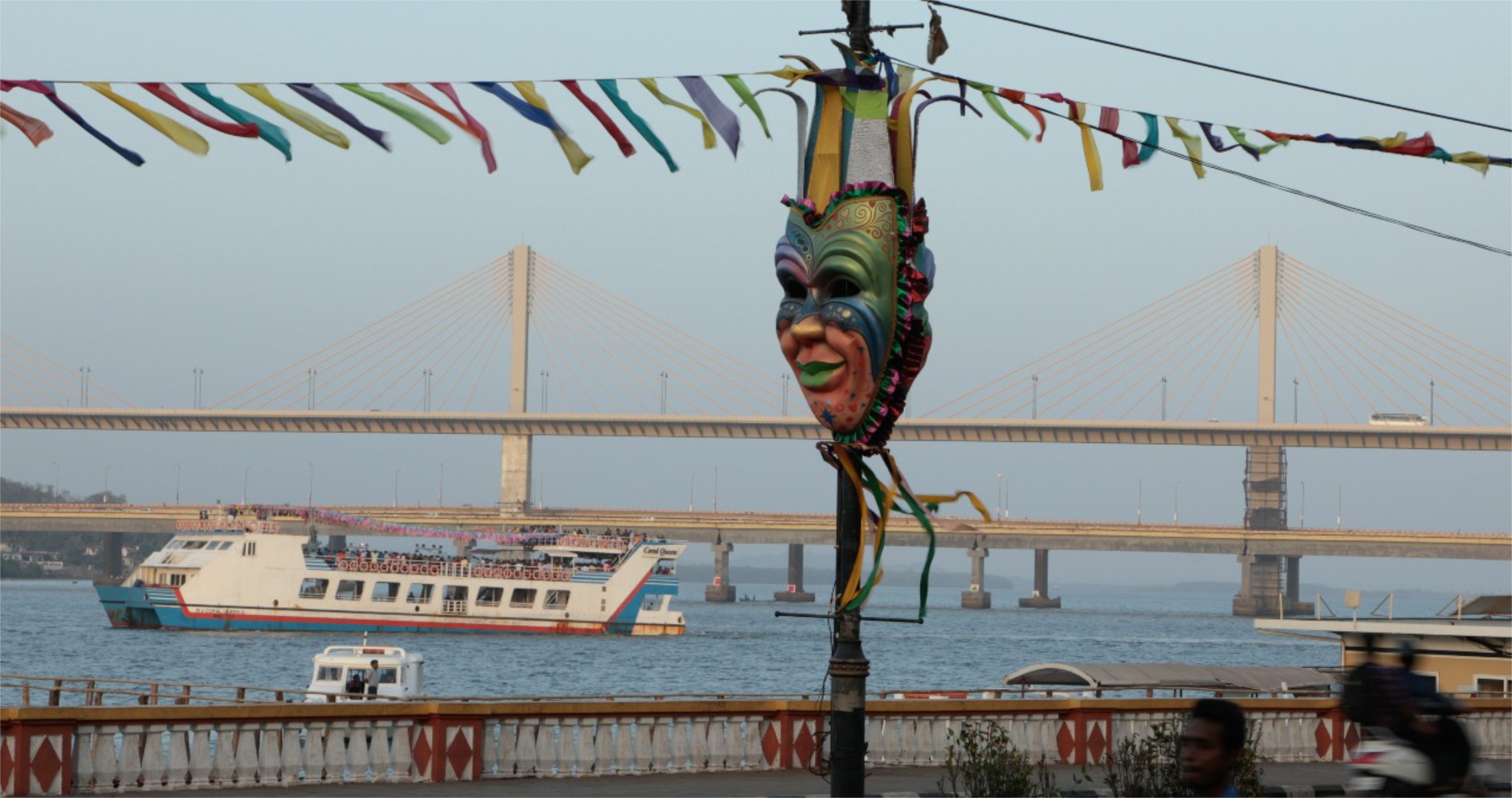
Portugal ruled Goa for 451 years, its second capital rivalling Lisbon's grandeur. Natural harbours and strategic location attracted global traders. Previously, Goa was ruled by dynasties like the Mauryas and Kadambas, initially embracing Buddhism, Jainism, and later Hinduism. The Islamic Bahmani Sultanate later turned it into a trading outpost. Vasco da Gama pioneered the Lisbon-to-Panjim route in 1497, with over 1000 ships sailing between these ports over the next 150 years. Portuguese influence promoted intercultural marriages and Christian conversions, leading to "Lusitanization."
Goa
Honnavar
Honnavar, a coastal port town in north Karnataka, is surrounded by stunning landscapes and has a rich history. In the 14th century, the explorer Ibn Battuta arrived on an Arab trading ship—traders from European countries like Portugal, England, and the Netherlands frequented the area from the 16th century onwards. During Portuguese rule, a fortress was built here in the 16th century. Later, when the British took control of the area, they built a series of warehouses in the 18th century. The Konkan Railway, which passes through Honnavar, features its longest bridge, spanning 2.065 km over the Sharavati River.


